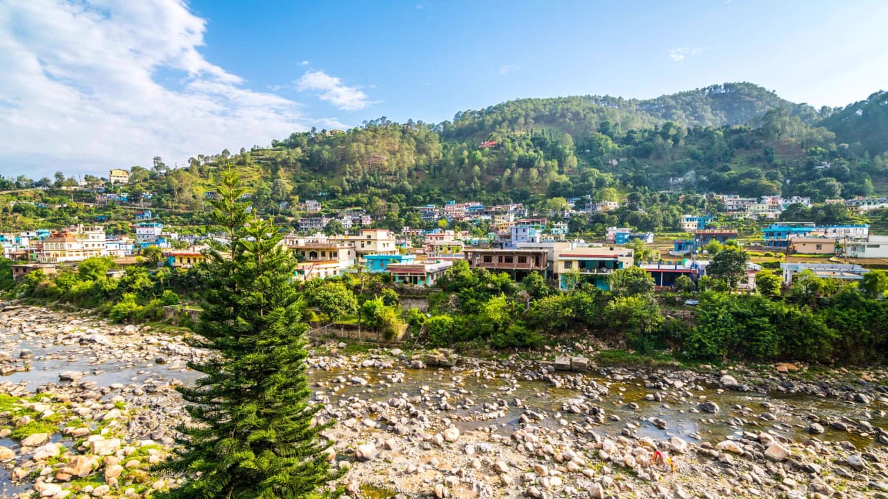
India · Uttarakhand · District
Bageshwar Real EstateProperty Market Insights
Emerging
2,810 km²
Area
2,59,840
Population (2011)
92
Density / km²
82.09%
Literacy Rate
Overview
Bageshwar's Real Estate Identity
Emerging
- Agriculture
- Tourism
Headquarters
Bageshwar
Urban / Rural
Urban: 6.5%, Rural: 93.5%
Development Stage
Developing
Major Towns
Bageshwar, Kapkot, Garur
Property Market
Real Estate in Bageshwar
Residential
Rs 1,500 - Rs 5,000
per sq ft
Commercial
Rs 5,000 - Rs 15,000
per sq ft
Plot / Land
Rs 5,000 - Rs 20,000 per sqm
Top Residential Localities
Bageshwar TownKapkot
Emerging Areas
GarurDugnakuri
Connectivity
Getting Around Bageshwar
Moderate
Nearest Airport
Pantnagar Airportapprox. 180 km
Rail
Kathgodam Railway Station
Road
NH 109 · SH 37
From State Capital
approx. 470 km
From Delhi
approx. 560 km
Social Infrastructure
Education, Healthcare & Lifestyle
Education
Government and private schools
Government PG College Bageshwar
Healthcare
Government and private hospitals
District Hospital Bageshwar
Economy
Economy & Employment in Bageshwar
Slow
Primary Industries
AgricultureTourism
Major Employers
Government sector
Key Crops
RiceWheatPotatoes
Investment Angle
Why Buyers Choose Bageshwar
Emerging
Why Invest Here
- Natural beauty
- Tourism potential
Who Buys Here
- Locals
- Tourists
Risks to Consider
- Remote location
- Limited infrastructure
FAQ
Frequently Asked Questions
What is the best time to visit Bageshwar?+
September to November and March to May
How to reach Bageshwar?+
By bus or taxi from Kathgodam Railway Station
What are the major tourist attractions in Bageshwar?+
Bagnath Temple, Saryu River, and Himalayan foothills
What is the climate of Bageshwar?+
Sub-tropical
What are the major crops grown in Bageshwar?+
Rice, Wheat, and Potatoes
Back to state
Uttarakhand